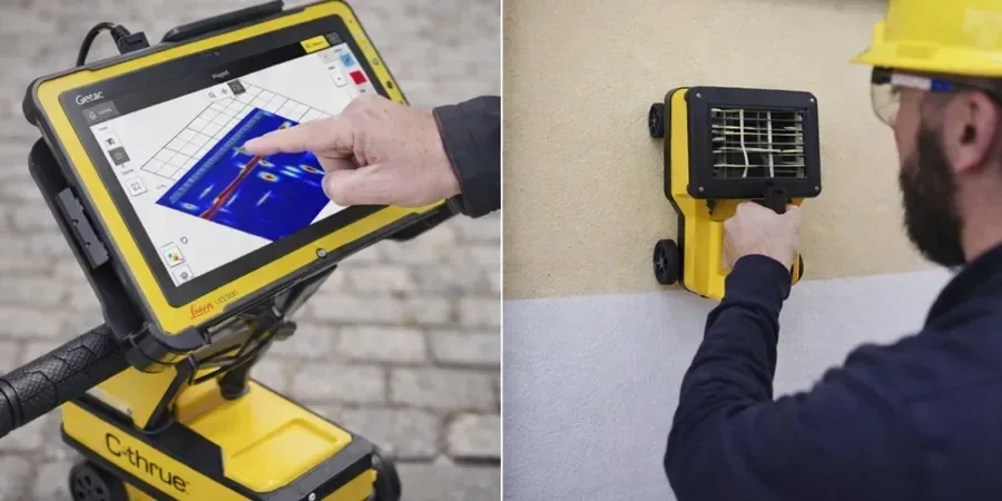
We use the GSSI SIR 4000 system with a 400 MHz antenna for most GPR surveys in Oceanside. The unit is mounted on a cart and pushed across the site while we collect continuous radargrams. In areas with dense clay or high moisture, we switch to a 200 MHz antenna to get deeper penetration, though resolution drops a bit. The data is processed on-site using RADAN 7 software so we can flag anomalies before we even pack up. Before any survey, we check the local soil conditions because the radar signal behaves very differently in dry sand versus wet clay. We have also completed numerous utility location surveys for Caltrans projects here, so we know the typical underground challenges in Oceanside.
GPR surveys in Oceanside require careful calibration because the coastal sand layers and clay lenses change radar velocity significantly across short distances.
Method and coverage
Regional considerations
The coastal geology of Oceanside presents a specific challenge for GPR surveys. The sand layers near the beach are dry and allow excellent penetration, but just a few blocks inland, the soil shifts to clay-rich terrace deposits that attenuate the radar signal quickly. We have seen surveys miss buried utilities by 30 cm because the operator did not account for this lateral change in soil type. Another common issue is the presence of old concrete foundations from demolished structures — they show up as strong hyperbolic reflections that can mask smaller targets like PVC pipes. In our experience, the biggest risk is not correlating the radar data with at least one or two calicatas exploratorias to ground-truth the anomalies. Without that step, you are basically guessing.
Standards that apply
ASTM D6432-19 (Standard Guide for Using GPR), ASCE 38-22 (Standard Guideline for Subsurface Utility Location), FHWA-RD-92-129 (GPR Applications in Highway Engineering)
Complementary services
Utility Location & Mapping
We mark public and private underground utilities including water, gas, electric, telecom, and sewer lines. Typical depth range is 0-3 m with 400 MHz antenna. We paint marks on the ground and provide a scaled plan.
Void & Cavity Detection
We look for voids beneath pavement, slabs, and foundations — common in older Oceanside neighborhoods with aging storm drains. The anomalies show as high-amplitude zones with loss of signal below. We flag these for further investigation.
Concrete Scanning
We locate rebar, post-tension cables, and conduits inside concrete slabs using a 1.6 GHz antenna. This is critical before coring or cutting in parking structures and commercial buildings in Oceanside.
Typical parameters
Top questions
How deep can GPR penetrate in Oceanside soils?
In the dry coastal sands near the beach, we can reach 4-5 m with a 200 MHz antenna. Once you move inland to the clay terrace deposits, the effective depth drops to 1.5-2 m. We always do a test pass at each site to measure actual penetration before starting the full survey.
What is the typical cost of a GPR survey in Oceanside?
For a standard utility location survey on a residential lot (approx. 2,000 m²), the cost ranges between US$910 and US$1,210. Larger commercial sites with dense grid lines can go up to US$2,500. We provide a firm quote after reviewing the site size and objectives.
Can GPR detect plastic pipes?
Yes, but it depends on the contrast between the pipe material and the surrounding soil. In dry sand, PVC pipes show clearly. In wet clay, the contrast is weaker and we may miss small diameter pipes. For plastic pipes in difficult soils, we recommend complementing the GPR survey with a calicata exploratoria to confirm.
How long does a GPR survey take?
A typical residential lot with a 0.5 m grid takes 2-3 hours including setup, data collection, and on-site processing. Commercial surveys covering 5,000 m² or more can take a full day. We always factor in time for ground-truthing and re-surveying ambiguous zones.
Do you provide a written report?
Yes, we deliver a PDF report with the radargrams, interpreted anomalies, and a scaled plan showing the location of each target. For utility surveys, we also provide the marked-up site photos and a table of depths. The report is signed by our senior geophysicist.